Pakistan to Launch First Hyperspectral Satellite HS-1
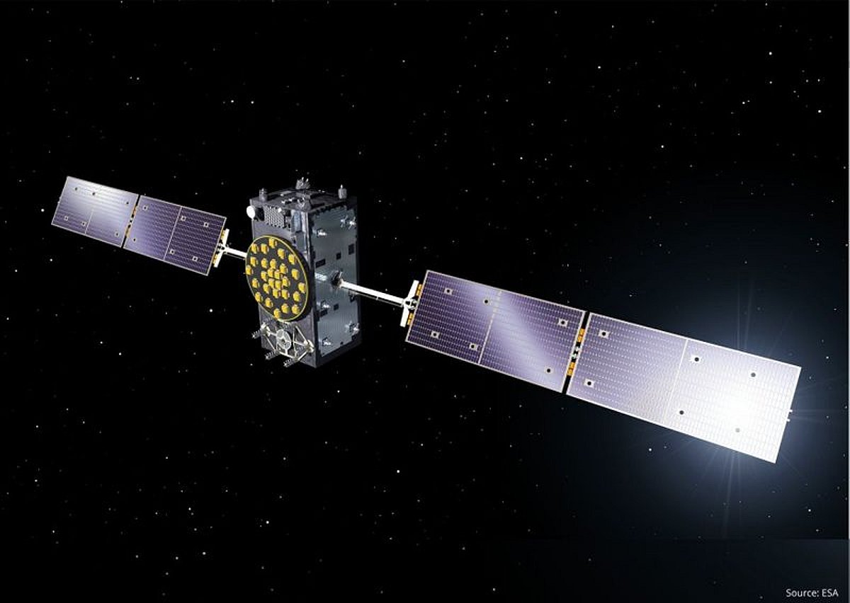
Pakistan is on the verge of a significant advancement in its space exploration efforts with the upcoming launch of its first Hyperspectral Satellite (HS-1). Scheduled for October 19, this mission will take place at the Jiuquan Satellite Launch Centre in China, marking a pivotal moment for the country’s ambitions in space technology.
Significance of the HS-1 Mission
The HS-1 satellite is being hailed as a transformative milestone for Pakistan’s national space program. With this launch, Pakistan will join a select group of nations equipped to deploy hyperspectral imaging satellites. This advanced technology captures hundreds of narrow spectral bands, enabling the detection of subtle variations in light and materials that are otherwise invisible to the human eye.
According to the Space and Upper Atmosphere Research Commission (SUPARCO), the HS-1 mission is expected to usher in a new era of advanced space-based applications. These applications will span various sectors, including agriculture, urban development, environmental monitoring, and disaster management.
Impact on Agriculture
In agriculture, HS-1’s high-resolution hyperspectral data is set to revolutionize precision farming. The satellite will provide detailed insights into crop health, soil moisture levels, and irrigation patterns. SUPARCO estimates that this technology could enhance yield estimation by 15 to 20 percent, significantly contributing to national food security.
Urban Development and Environmental Monitoring
The satellite’s sophisticated sensors will also play a crucial role in urban development. By monitoring infrastructure growth, land use, and environmental changes, HS-1 will assist in sustainable city planning and efficient resource management. Its ability to capture unique spectral signatures of man-made structures will provide valuable data for urban planners.
Disaster Management Capabilities
HS-1 will serve as a vital tool for early warning systems and rapid disaster response. Its advanced imaging capabilities will improve flood prediction, landslide tracking, and geo-hazard assessments, particularly in vulnerable regions like the Karakoram Highway and northern mountainous areas. The satellite will also enhance post-disaster assessments, transportation network analysis, and water resource modeling, offering real-time data on natural disasters such as floods and earthquakes.
Expanding Pakistan’s Space Fleet
The HS-1 satellite will join an expanding fleet of remote-sensing satellites operated by Pakistan, which includes:
– PRSS-1, launched in July 2018 – EO-1, launched in January 2025 – KS-1, launched in July 2025
SUPARCO has indicated that this new mission aligns with the National Space Policy and the agency’s long-term Vision 2047, which aims to position Pakistan as a leader in space technology and innovation for sustainable development.
Strengthening Ties with China
Pakistan’s collaboration with China in space exploration has deepened in recent years. In July 2025, the Ministry of Foreign Affairs confirmed the successful launch of another remote sensing satellite from China, aimed at enhancing agricultural monitoring and disaster management capabilities. This partnership reflects a growing focus on integrating space-based applications into disaster risk management frameworks, emphasizing science-driven resilience and international cooperation.
FAQs
When is the HS-1 satellite launch scheduled?
The HS-1 satellite is set to launch on October 19 from the Jiuquan Satellite Launch Centre in China.
What are the main applications of the HS-1 satellite?
HS-1 will be used for various applications, including precision agriculture, urban development, environmental monitoring, and disaster management.
How does HS-1 contribute to national food security?
By providing high-resolution data on crop health and soil moisture, HS-1 is expected to improve yield estimation by 15 to 20 percent, thereby enhancing food security in Pakistan.
Conclusion
The upcoming launch of the HS-1 satellite represents a significant step forward for Pakistan’s space ambitions, with potential benefits across multiple sectors. As the country continues to develop its space capabilities, the integration of advanced technologies like HS-1 will play a crucial role in addressing challenges in agriculture, urban planning, and disaster management.
The development of the HS-1 satellite is part of a broader global trend where countries are increasingly investing in advanced space technologies to address pressing challenges. Hyperspectral imaging has gained traction worldwide for its ability to provide detailed information that can inform decision-making across various fields. As nations recognize the strategic importance of space capabilities, Pakistan’s entry into this domain signifies its commitment to leveraging technology for national development.
Moreover, the successful launch of HS-1 could pave the way for future collaborations with other countries and organizations involved in space research and applications. By demonstrating its capabilities in hyperspectral imaging, Pakistan may attract partnerships that could enhance its technological expertise and foster innovation in related sectors. This could lead to further advancements in satellite technology and its applications, ultimately benefiting the country’s economy and society.
As the launch date approaches, anticipation is building within the scientific community and among policymakers in Pakistan. The HS-1 mission is seen not only as a technological achievement but also as a catalyst for fostering a culture of research and development in the field of space science. The outcomes of this mission could inspire future generations of scientists and engineers in Pakistan, encouraging them to pursue careers in STEM fields and contribute to the nation’s technological progress.
Also Read:
HOT Systems Showcases AI Solutions at GITEX Global 2025